
Trace San Angelo Previous Residents by Era
One address produces a layered trail, not one continuous database. Begin with the current parcel card and work backward toward the period at issue. EagleWeb helps with recorded instruments from its online starting point. CAD preserves present ownership and selected historical rows on the individual card. Directories and census material provide snapshots of named households. Maps and permits explain a building or address change. The limits are important: a current CAD card does not prove occupancy, a directory listing is dated, and a map does not identify a resident.
| Source | Years it covers | Where held | What it shows |
|---|---|---|---|
| EagleWeb recorded index | January 1, 1982 to current portal extent | Tom Green County Recorder online | Grantor, grantee, instrument, recording date, legal description, and image link. |
| CAD parcel card | Current card plus visible historical rows that vary by parcel | Tom Green CAD | Current owner, mailing and situs fields, values, land, improvements, and selected conveyance clues. |
| Voter street indexes | 2018 and 2025 editions located | County Elections PDFs | Address ranges, ZIP, precinct, and district comparison, not a household list. |
| Worley directories | 1910, 1925, 1929-30, 1939, 1941, 1952, 1954, 1959 | Bibliographic and local-library path | Name, address, and occupation clues by publication year. |
| Polk directories | 1962, 1963, 1965, 1967-76, and 1978, with catalog gaps | UT Austin citation and library or FamilySearch path | Later name and address continuity where the volume is available. |
| NARA directories | 1927-31 and 1934 | National Archives microfilm guide | A city-directory bridge for the early twentieth century. |
| Sanborn maps | 1904 set and 1920 index or set path | Library of Congress and UNT | Building, block, street, and land-use context, not occupant proof. |
| Federal census | Decennial releases under the 72-year rule | NARA, library, or FamilySearch | Household snapshot with year-specific address or neighborhood context. |
| City permit reports | Monthly reports located for March through July 2026; full extent not cataloged | San Angelo Building Permits | Project, address, permit, or inspection timing clues. |
| Newspapers and Fairmount | Issue-specific newspapers; cemetery from 1893 | Library, archive, and City cemetery paths | Notices, obituary leads, burial, block, lot, and documentation clues. |
For an address with a documented deed after 1982, begin online and then move outward. For an address with an earlier period, begin at the County Clerk’s historical holdings, the library, archives, and map or directory paths. The lack of a record in one layer is a finding about that layer, not proof that nobody lived there.
Anchor San Angelo with CAD
The Tom Green CAD public search supports Name, Property Address, Legal Description, Geographic ID, Property ID, and Map/GIS modes. Enter the known physical address, save the Property ID and Geographic ID, then transcribe the situs address, owner name, mailing address, legal description, and deed-history line. CAD is a current property and assessment source. It is an essential anchor for a previous-residents search, but it does not establish that the person shown on the card occupies the physical address.
The mailing field deserves special care. A tax correspondence address can be elsewhere in Texas or outside the state. Homestead or similar fields may be consistent with owner occupancy, but they are not conclusive. Use the CAD identifiers to keep the present parcel connected to an old deed, lot, block, or subdivision when street language changes. The parcel card may also show value, land, improvement, and selected conveyance information that helps compare records without turning a tax estimate into a title record.
Trace Tom Green Deeds Backward
The deed trail begins with the current parcel’s legal description, not a guess from the street name. Preserve the parties, instrument number, recording date, and description from every likely link. That prevents a surname match from being mistaken for the same parcel.
- Grantor and grantee
- The grantor gives or transfers an interest; the grantee receives it.
- Chain of title
- The sequence of recorded instruments that connects transfers of a parcel.
- Legal description
- Lot, block, subdivision, or metes-and-bounds language that identifies land and can outlast a changed street form.
- Reception number
- The recording number used to identify an instrument in the recorder index.
Tom Green Recorder EagleWeb indexes recordings from January 1, 1982 forward. Its search routes include Grantor, Grantee, combined party, Reception Number, date range, document type, and Basic or Advanced name search. Basic search needs last name first and maintains word order; Advanced search is word-order independent. Search spelling variants, then use the documented wildcard, required-word, or excluded-word syntax only when it fits the name. EagleWeb also offers a related search for documents linked to the current document or legal description.
- Open the CAD card and copy the current owner, Property ID, Geographic ID, legal description, and any deed-history date or instrument clue.
- Search EagleWeb for the current owner as grantee, or use the legal description when the name route is unclear.
- Record the reception number, recording date, document type, grantor, grantee, and volume or page if the result supplies it. Review the image when available.
- Search that seller or grantor as a grantee to locate the earlier acquisition, while comparing the legal description at each step.
- Repeat the process until the next instrument predates the online index, then switch to the clerk’s older books, office research, microfilm, or archive route.
The EagleWeb record search is the online portion of the San Angelo previous residents deed chain.
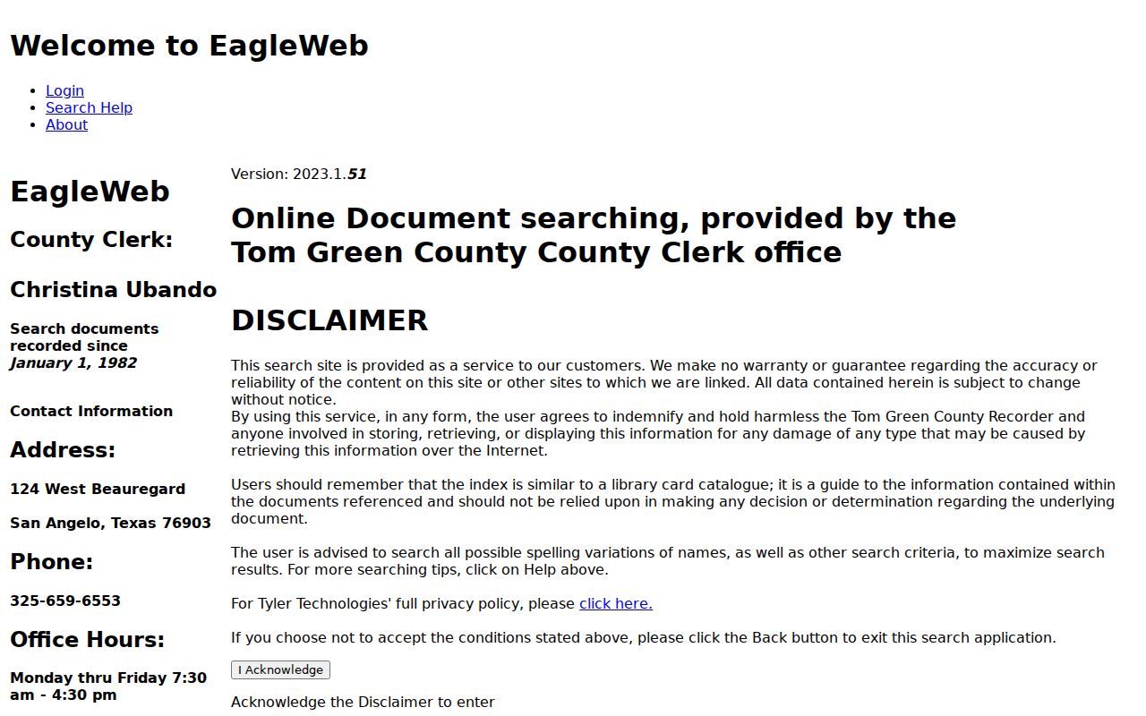
Its watermarked images and index entries are useful research references; obtain an official copy from the clerk when a formal record is needed.
Note: A property may change hands through probate, survivorship, a correction instrument, a gift, or foreclosure, so do not assume every transfer was a sale.
Reach Beyond San Angelo EagleWeb
January 1, 1982 is the verified online index cutoff, not the beginning of Tom Green County recording. When the next deed falls before that point, use the County Clerk’s deed books and indexes, office terminals, microfilm, FamilySearch digitized books if available, and local historical research. The research did not establish the first deed-book year or a named Tom Green deed collection in FamilySearch. Those gaps should stay visible rather than being replaced by an invented coverage date.
The Tom Green County Real Estate Department is the clerk route for older recorded instruments and official copies. Its counter is at 124 W Beauregard, and the research lists 325-659-6552 for real estate and 325-659-6553 for the clerk. Ask for identifiable existing records by legal description, instrument number, party name, or a narrow date span. An office visit or focused request is more useful than a broad request to reconstruct a whole property history.
Pair San Angelo Directories and Census
Directories and census records turn a chain of owners into a careful previous-residents question. The confirmed Worley years are 1910, 1925, 1929-30, 1939, 1941, 1952, 1954, and 1959. The research also identifies Polk volumes for 1962, 1963, 1965, 1967 through 1976, and 1978, with gaps depending on the catalog. NARA’s guide lists San Angelo directories for 1927 through 1931 and 1934 on microfilm. A date gap must remain a gap. Do not fill it with a presumed household.
For each image or volume, preserve the title, publisher, year, page, section, street spelling, abbreviation, and every visible address line. Move backward and forward one available year at a time. Pair a directory’s near-year address with a federal census release when the dates allow it. The directory year and its field-collection period are not always identical. The census gives a household snapshot; the directory gives a dated listing. Neither resolves identity alone.
The Tom Green County Library genealogy resources bring together local books, microfilm, historical newspapers, census material, Sanborn maps, FamilySearch, HeritageQuest, Fold3, and other databases. The second-floor genealogy area at Stephen Central offers a practical human fallback when an online image stops short.
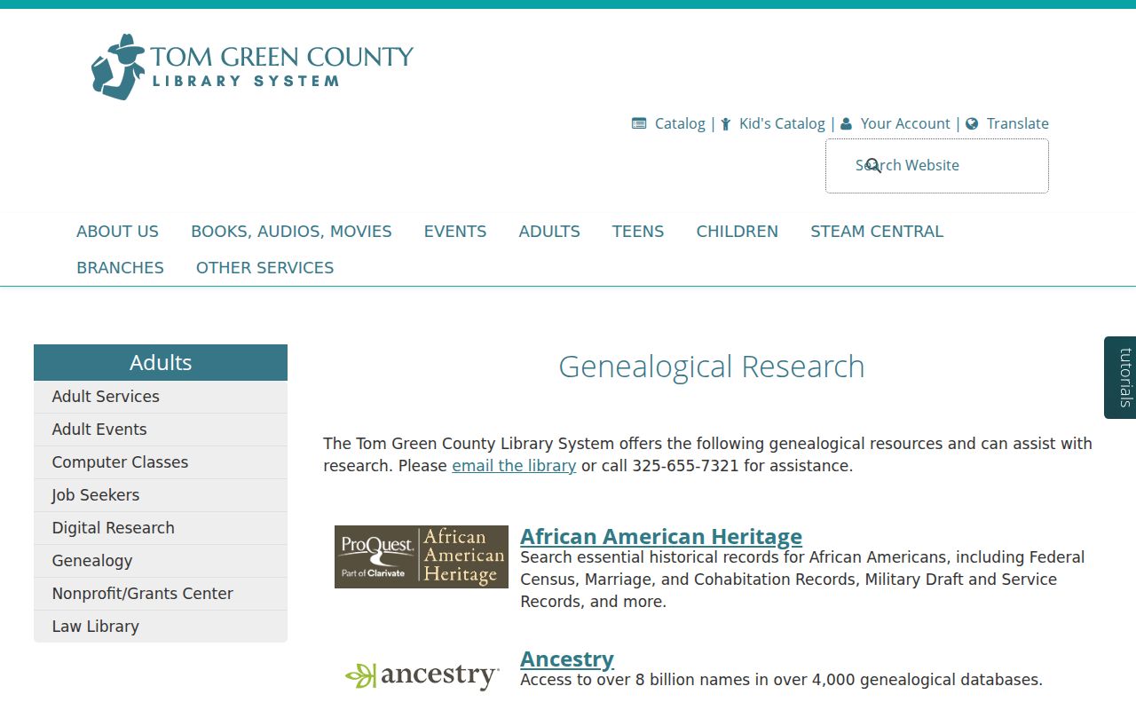
Ask library staff about a specific publisher year, an address-arranged section, and the access rules for the requested source rather than assuming the entire run is digitized.
The collections themselves are described in the San Angelo Directory Book; use that page for the year-by-year shelf and collection context.
Read San Angelo Sanborn Context
Sanborn material is a building and block tool, not a roll of previous residents. The Library of Congress holds an August 1904 San Angelo set with 15 sheets. The Portal to Texas History provides a 1920 street-to-sheet index. Use the index to locate the sheet for a street, then compare the street, block, building footprint, business or land-use context, and nearby landmarks with the legal description and historic directory address. That can help test whether two differently written address records describe the same place.
A map cannot prove who slept at an address. It can show whether a building existed, how a block was organized, or whether the documented street context changed. This is especially useful when a deed uses lot and block wording or when an older directory refers to an addition rather than a modern postal address.
The digitized 1920 Sanborn street-to-sheet index provides the entry point for this San Angelo previous residents map check.
Use the sheet result alongside deeds and dated directory entries, never as a substitute for either source.
Date San Angelo Property Changes
San Angelo Building Permits and Inspections can supply another time marker. Public monthly reports can indicate permit, application, construction, addition, solar, or inspection activity for an address. The research located several 2026 monthly reports but no complete public address-indexed permit archive. Use the PDFs as a narrow lead and the city counter or a focused request for a missing permit file.
Permit dates document physical work, not a transfer or a household. An applicant may be a contractor or agent. For a targeted request, identify the street address, date range, and existing record types needed, such as permit number, issue date, status, inspection dates, and releasable names or addresses. This makes permit records useful for chronology without overstating what they prove.
Bridge San Angelo Historic Additions
A past address may be found by its addition rather than its current street form. The 2021 downtown historic survey refers to Lasker’s, Miles’s, Ellis, and Wickes additions and points to a circa-1880 Frank Lerch map of San Angelo and additions. Search an addition or subdivision name in the deed, plat, CAD legal description, map, or directory. It can connect a parcel trail when a modern street search fails.
No official source in the research identified a San Angelo street-renumbering or renaming year. That absence matters. Compare the 2018 and 2025 county street indexes, CAD address layer, Sanborn sheet, historic survey, cross streets, lot and block, deed instrument, and newspaper date. Describe a possible match as an inference until a source makes the connection explicit. A current address may also carry a San Angelo postal city while sitting near a city, county, school, or postal boundary.
Close San Angelo Household Trails
When a prior resident disappears from an address, move from the last dated listing to an obituary, probate file, later deed, and cemetery source. The Tom Green County Library has Standard-Times microfilm and historical newspaper paths. Probate files can identify an estate or heir relationship, subject to record limits. A later instrument can show the next transfer. The City of San Angelo’s Fairmount Cemetery records can add a burial, block, lot, deed, or genealogy endpoint for a deceased person.
San Angelo Genealogical & Historical Society indexes include Stalkin’ Kin, reported with 216,051 names across designated volumes and supplements, and an unclaimed marriage-license index with more than 3,700 Tom Green County entries. Treat an index hit as a lead to the underlying reference. It is not a certified record and it does not establish that the named person lived at a particular address.
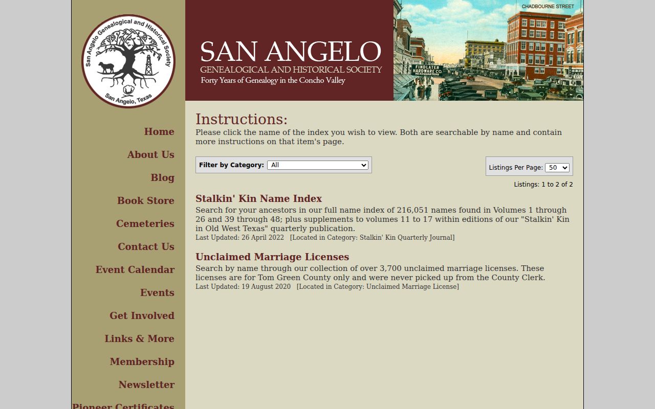
Verify an index lead with the cited volume, a dated directory image, a clerk record, newspaper issue, or cemetery documentation before adding it to a household trail.
For a deceased San Angelo resident, Fairmount Cemetery offers a current-burials file, map, and city-held burial and deed documentation. Its block and lot map helps locate a cemetery record, but the map itself is not a legal survey.
Lawful use. Use San Angelo previous-residents research for family history, estate questions, local history, or personal property curiosity. Do not use record trails to stalk, harass, intimidate, or harm any person.
Respect San Angelo Record Limits
A current property card, dated directory, deed party, permit, cemetery entry, or voter street range each answers a limited question. Public property rolls identify a recorded owner and tax correspondence, not every person connected with a household. Directory years have gaps. Voter records are subject to protected-address rules. Utility and delivery lists are not ordinary public directories. Do not turn a single name match into a conclusion about a living person.
Keep a source log with the record name, custodian, search date, address form, page or instrument number, and limitation. When sources disagree, retain the disagreement and ask the custodian for the underlying record. That approach protects the useful difference between a documented residence, an ownership event, an old mailing address, and a historical clue.
Note: The best previous residents result is a dated chain of sources that allows another researcher to check each link independently.