
San Angelo Neighbor Record Sources
Several public sources can describe the block around a San Angelo address, but they describe different things. Tom Green CAD and its map are the starting points for parcel geometry, a physical, or situs, address, and the recorded owner. The County Clerk’s recorder index adds transfer and legal-document context. County Elections supplies a street index that maps ranges to ZIPs, precincts, and districts. City GIS adds layers such as zoning, water, sewer, river corridor, transportation, traffic counts, and addresses, but map context does not change title.
| Source | What It Shows About a Block | Access |
|---|---|---|
| CAD GIS | Parcel geometry, parcel IDs, address points, and nearby polygons | Free interactive map; exact controls were not rendered in the research capture. |
| CAD cards | Recorded owner, mailing and situs addresses, legal description, value, land, improvements, and deed hints | Free individual property card. |
| County Clerk recorder | Transfers, liens, plats, and legal descriptions for parcel trails | EagleWeb from 1982; older books and counter access for earlier material. |
| 2025 voter street index | Address range, ZIP, precinct, and district assignments | Free PDF; not a full block household list. |
| City GIS layers | Zoning, utilities, river-corridor, transport, traffic, and address context | Free map data supplied as-is, without warranty. |
| HOA certificate search | Named association and certificate or contact information | State certificate search; not a membership roster. |
| Civic organizations | Public organization contacts, directories, and meeting paths | Society, Chamber, and club pages; membership privacy varies. |
A CAD card identifies a recorded owner and tax correspondence. It does not establish that the owner occupies the property, and it does not list every person connected to the address. Mailing and situs fields must remain separate. The research sample, for example, pairs an Avenue D situs in San Angelo with a mailing address in Baird. That is a normal reason to avoid treating a mailing field as a location on the block.
Defining San Angelo Neighbors
Decide what “neighbor” means before collecting records. A touching parcel shares a property boundary. An across-the-street neighbor is separated by the street right-of-way. A block search includes addresses on a defined block face or street segment. A subdivision search concerns a recorded plat or association area. A ZIP is much broader and should not be used as a substitute for a block. Write down the definition beside each Property ID so the scope remains clear.
The available text capture did not render a GIS select button, identify control, buffer action, measurement control, or radius feature. There is no confirmed basis to claim that the Tom Green CAD or City GIS map offers a neighbor-radius tool. The safe method is visual parcel-by-parcel browsing: locate the target parcel, inspect its boundary, then open cards for touching or nearby polygons that fit the chosen definition.
Map San Angelo Neighbor Parcels
The adjacent-parcel workflow begins with the physical, or situs, address. Search that address or its Property ID in the CAD map, zoom to the relevant parcel, and read the boundary before moving outward. The Property ID and Geographic ID are the useful bridges between the map and the individual CAD card. City GIS can provide an address or planning-layer view, while CAD supplies the parcel record that needs to be checked for each selected polygon.
- Find the target situs or Property ID in the Tom Green CAD map or the City GIS address layer.
- Choose a documented scope, such as parcels that touch the boundary or lots across the street, then note each adjoining Property ID or Geographic ID.
- Open each CAD card and record the owner of record, mailing address, situs address, legal description, land and improvement fields, and deed-history clues.
- Use the legal description or owner name in EagleWeb when a transfer, plat, or lien needs to be checked against the parcel.
- Compare the 2025 voter street-index row only for range, ZIP, precinct, and district context. It does not supply a complete household list.
A parcel map is a geography tool, not a title decision. The CAD card and recorder provide the ownership and conveyance evidence. Where a question expands from the immediate block to a full street segment, the San Angelo Street Directory has the longer address-record workflow.
San Angelo Neighbor Parcel Trail
CAD cards show current recorded-owner and parcel information, including mailing and situs fields, legal description, values, exemption indicators, land, improvements, tax-estimate entities, and deed-history clues. A homestead or similar exemption field may be consistent with owner occupancy, but it is not conclusive. Do not turn an exemption field into a statement that a named person lives at a particular address.
For a legal-document trail, use the owner’s name in the Tom Green County Recorder EagleWeb index as grantor or grantee. Note the instrument or reception number, recording date, parties, legal description, and any volume or page value. The watermarked image may be available online. Search name variants and the lot-block or subdivision language because a street address can be abbreviated, changed, absent, or replaced by a legal description. EagleWeb’s online recorded index begins January 1, 1982; earlier research requires County Clerk books, office terminals, microfilm, or archival help.
Note: A transfer can be a deed, probate event, survivorship record, correction instrument, gift, or foreclosure, so the parcel history should not be described as a sequence of sales without checking the document.
San Angelo Street Range Fingerprint
The 2025 voter street index is an unusually detailed geographic fingerprint for a San Angelo address. It joins From and To numbers, odd or even side, directional prefix and suffix, street name and type, city, ZIP, precinct, restriction, county, congressional, state, commissioner, city, school, judicial, and board columns. Use the row to keep address spelling and range context intact before comparing a CAD result or an organization contact.
This local geography matters because a postal city, parcel, precinct, school district, and municipal district do not always align. The index gives examples in 76904, 76905, and 76903, but it does not reveal who occupies every address in those ranges. Texas public voter information is subject to protected-address rules, and it identifies elections in which a voter participated, not ballot selections. If a protected record displays a name with asterisks in place of a residence, do not attempt to reconstruct the address from another copy.
| Address layer | Best local source | What it can establish |
|---|---|---|
| Physical parcel | CAD card and parcel map | Situs, parcel ID, recorded owner, and legal description. |
| Street range | 2025 voter street index | Range, ZIP, precinct, and district mapping. |
| Document history | County Clerk recorder | Recorded parties, instrument, date, and legal-document context. |
| Planning context | City GIS | Address, zoning, utilities, corridor, and transport layers. |
San Angelo Neighbor Associations
Association information is useful when the question concerns an organization rather than private households. Texas certificate-search results connect Dove Creek Subdivision Owners Association and Lake Nasworthy Homeowners Association with Tom Green County and San Angelo 76904. Those certificate records are a way to find association contact or certificate information. They are not a directory of residents or members. Buffalo Heights Homeowners Association, Inc. appeared in filtered state results with a surprising Austin ZIP, so its local connection is uncertain and should be verified before relying on it.
Dove Creek
State HOA certificate results place the association in Tom Green County with a San Angelo 76904 connection. Use the certificate route for association contact information, not a member list.
Lake Nasworthy
State certificate results identify a Lake Nasworthy homeowners association with Tom Green County and San Angelo 76904 context. Public membership information was not located.
Buffalo Heights
The filtered state result used an Austin ZIP and carries a source reliability disclaimer. Treat any San Angelo connection as unconfirmed until verified.
The San Angelo Chamber member directory presents public organizational listings by category, ZIP, phone, and address-style fields.
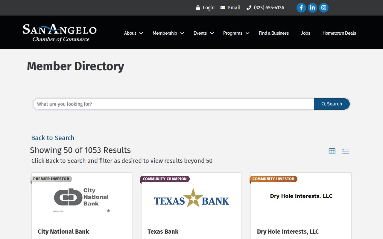
The captured Chamber view showed 50 of 1,053 results. It is a public business-member directory, not a complete business-ownership source and not a directory of households.
San Angelo Neighbor Civic Contacts
San Angelo’s public civic contacts can help identify an organization tied to an area, an event, or a historical interest. The Tom Green County Historical Society, Concho Valley Archaeological Society, DAR and DRT groups, Railway Museum, Tom Green GenWeb, Texas State Genealogical Society, Fort Concho, and the West Texas Collection appear in historical-society organization resources. Public member rosters were not located. Ask for an organization’s public contact path or archival material, not private household data.
Dynamic Downtown Lions reports local service since 1923 and lists a Thursday noon meeting at Golden Corral. San Angelo Kiwanis reports a January 21, 1915 founding and provides a Tuesday noon meeting and invitation route. These sources help confirm an organization’s public presence. They do not identify everyone connected to a block. The Chamber is at 418 W Ave B and provides a separate public member-business path.
San Angelo Neighbor Source Types
Official sources and commercial neighbor-search categories answer different questions. CAD, the recorder, County Elections, and City GIS have a named custodian and a defined record purpose. Their limits are visible in the fields and access rules. Commercial lookup categories can combine older sources, charge for access, or retain data after an official record changes. A familiar address match should still be checked against the current custodian record.
| Source category | Strength | Limit |
|---|---|---|
| Official parcel and recorder records | Named custodian, parcel or instrument context, and correction path | Primarily records title and tax correspondence, not every occupant. |
| Street index and voter sources | Range, ZIP, precinct, and district context under Texas rules | Protected addresses apply; no ballot selections or complete block roster. |
| Association and civic contacts | Public organization path and local context | Contact information is not proof of private membership. |
| Commercial lookup category | May offer a broad starting lead | Accuracy, currency, source, and removal practices vary by service. |
When an official record seems wrong, contact the appropriate custodian with the Property ID, instrument number, VUID, case number, page, or source image. CAD, court, voter, cemetery, and directory records each have different correction routes. A request under the Texas Public Information Act should be narrow and directed to the governmental body that holds the record.
Privacy Limits for San Angelo Neighbors
Public parcel and street records do not open every household detail. Utility customer lists and delivery records are not ordinary public resident directories. A permit applicant, licensee, or business agent may not be the owner or occupant. Voter addresses can be protected, and Texas Election Code section 13.004 protects Social Security and Texas driver-license or ID numbers in registration records. Court files can be sealed, and certain vital records have access limits.
The Texas Attorney General Address Confidentiality Program gives qualifying survivors a substitute PO box and mail-forwarding agent. Government Code section 552.1175 also protects specified groups when a proper request is made. County online-record notices describe automatic or partial redaction for Social Security and bank-account numbers, while recorded military discharges are secured. These limits are part of the record, not gaps to work around.
Lawful use. Use San Angelo neighbor records for personal, civic, family, or property curiosity. Do not use public details to stalk, harass, intimidate, or expose a protected address.